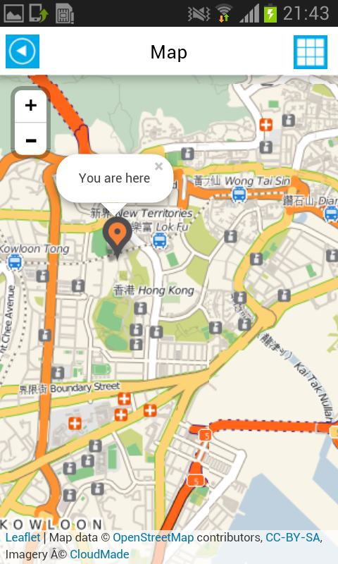
GPS Navigation
Before learning the word “Dad”, kids now the word GPS. Global Positioning System has been a revelation in providing location and time in all weather conditions. GPS navigation has become a norm in almost all developed countries. Moreover many cars have GPS navigation systems installed in order to facilitate driving. The primary use of GPS navigation in cars is to determine distance and direction. Using satellite mapping GPS estimates the travel time and distance required to travel from A to B. It also provides alternative routes to a location and many other functions. My smartphone application will integrate the functions of GPS in order to facilitate driving. Moreover using this application one can detect the density of traffic on different routes. However there is a limitation to GPS enabled devices. Because we're dealing with extremely fast signals requiring precise detection, any slight inaccuracy in the signal's reception, or disturbance to the signal itself, can translate to a significant dislocation of your reported position. Consequently, environmental factors such as dense trees, steep hillsides, tall buildings, or even heavy cloud cover can impact or even interrupt the travel of the GPS signal between your device and the satellites. Hong Kong falls victim to all these problems: with tall buildings, dense cloud cover and hilly regions.